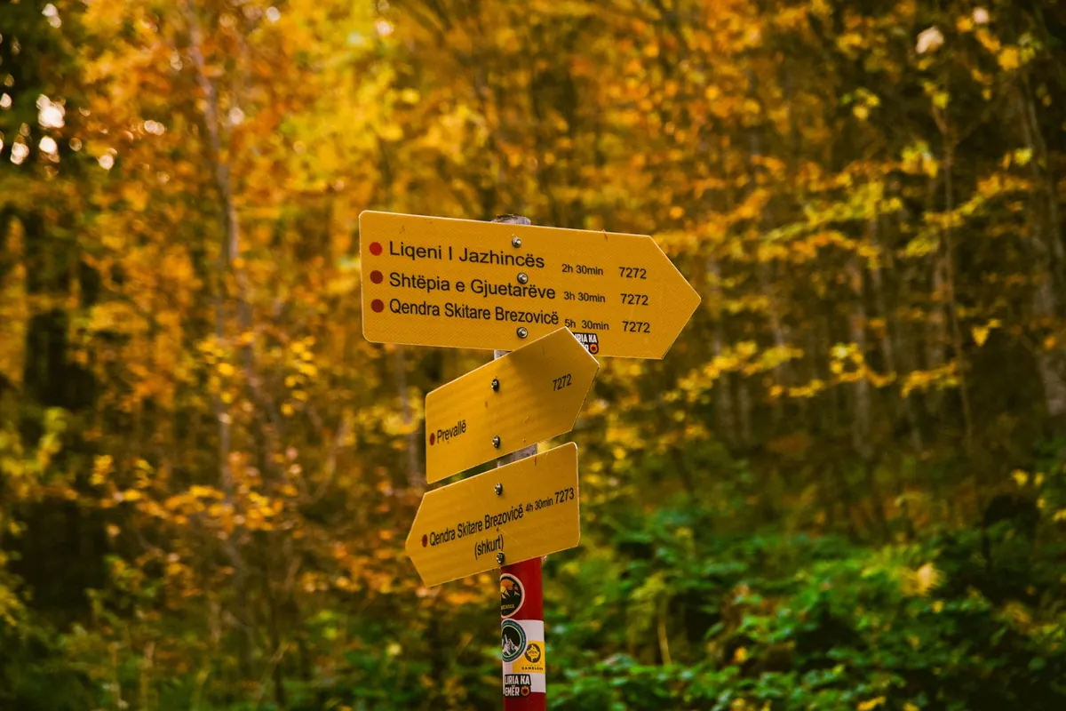
Most people in Mesa have walked part of the Heritage Trail without realising it exists. The route threads through the old town core, drops down to the canal and loops back along streets where the town's oldest buildings still stand. There is no ticket, no guide and no fixed start time. You need a couple of hours, comfortable shoes and the habit of looking up.
What the Trail Actually Is
The Heritage Trail is a self-guided walking route, waymarked with numbered posts and small pavement markers carrying the trail's emblem. It is not a paid attraction or a guided tour. It is a sequence of places, most of them free to look at from the street, with a handful open to the public on selected days.
Two things are worth knowing before you start. First, the route is roughly circular: it begins and ends in the same part of town, so you can walk it in either direction and step off at almost any point. Second, plenty of the buildings along it are private homes and working premises. Admire the doorways and the brickwork, but stay on the pavement.
The Route, Section by Section
The trail is usually described in four sections. Walked end to end, they come to a little under four kilometres — though the waymarking has been adjusted over the years, so it is worth picking up a current leaflet before you set off.
1. The old town core
Start where Mesa is oldest and busiest. This first stretch is short and slow, because there is more to look at than you expect: the market square, the civic buildings around it, the war memorial and the old cinema with its faded lettering. Look at the rooflines rather than the shopfronts. The upper storeys give away which buildings genuinely predate the rest, and which are twentieth-century imitations.
2. Down to the canal
From the square, the trail turns downhill and follows the old route to the wharf. This is the flattest and most photogenic part of the walk. Brick warehouses that once handled goods now hold offices and flats, and the towpath runs beside them with the water on one side and iron railings on the other. Keep an eye out for the canal mile markers set into the wall; most people miss them entirely.
3. The mill and the terraced streets
The route leaves the water and climbs gently past the mill building, whose chimney is still the tallest thing for some distance. Beyond it come the terraced streets, built in tight rows for the people who worked there. This section is more residential and much quieter. It rewards attention to detail: stone lintels, boot scrapers by the doors, the occasional painted shop sign uncovered by a change of use.
4. The quiet end
The last section passes the churchyard and the almshouses before returning to the town centre. If you only have an hour, this is the part to save for another day — it is the least dramatic, and the most peaceful.
What to See Along the Way
You cannot see everything in one visit, and trying to turns a pleasant walk into a checklist. These are the stops most first-timers are glad they made:
- The market square clock — the natural meeting point and the easiest place to orient yourself.
- The wharf warehouses — best seen from the far bank, where you get the whole run of brickwork in one view.
- The canal mile markers — small, easy to walk past, and a reminder of what the water was actually for.
- The mill chimney — visible from most of the western half of the route, which makes it a useful landmark if you lose your bearings.
- The almshouse quadrangle — usually viewable from the gate; check local opening arrangements if you want to go further in.
- The terraced streets' corner shop — a good excuse for a sit-down and a cold drink.
How Long It Takes
The honest answer is: longer than the map suggests. The route is short, but it is not a straight line, and the interesting bits are the bits you slow down for.
- Brisk, no stops: about 75 to 90 minutes.
- Comfortable, a few pauses: two to two and a half hours.
- With a proper break and some detours: three hours, which is the pace most people actually enjoy.
Add extra time if you are walking with children, or if you plan to stop for lunch. The canal section in particular tends to slow everyone down.
A Comfortable Half-Day Schedule
If you would rather not think about it, this is a sensible way to structure the morning:
- 10:00 — Start at the market square. Photograph the map board before you leave it; you will want it later.
- 10:20 — Walk the old town core slowly, then head downhill towards the water.
- 11:00 — Reach the wharf. This is the best place for photographs, so give it twenty minutes.
- 11:30 — Follow the towpath and climb towards the mill.
- 12:00 — Break in the terraced streets. A café or a bench, depending on the weather.
- 12:30 — Finish through the churchyard and almshouses, back to the square by one o'clock.
Starting earlier works well too, particularly in summer, when the towpath has little shade after midday.
Practical Points
- Wear shoes you would happily walk four kilometres in. The towpath can be muddy after rain.
- Most of the route is paved, but the canal section is uneven in places and there are a couple of short flights of steps. Wheelchair users and anyone with a pram may prefer to join the trail at the mill and skip the wharf.
- Public toilets and cafés cluster around the market square and the terraced streets. There is very little in between, so plan accordingly.
- Dogs are welcome on the trail but should be kept on a lead near the water and through the churchyard.
- Take water. Even on a mild day, the route offers fewer benches than you would like.
Before You Set Off
Pick up a current trail leaflet from the library or the visitor point in the town centre — routes do change, and the printed map is easier to follow than a phone screen in bright sunlight. Go on a weekday if you can; the old town core is far more pleasant without a Saturday crowd. And leave the second half for another visit. The Heritage Trail is short enough to walk in an afternoon and rich enough to reward coming back to.
Photo: Furkan Idrizi / Pexels